Share your time to do your projects right
Home > Offers > Geolocation

Geolocation
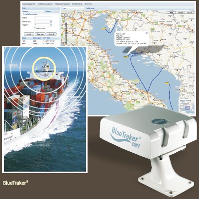
The ecc company proposes some industrial solutions for geolocation by satellites which give you the possibility to follow on real time your logistics transportations vehicules (cars, trucks, boats...).
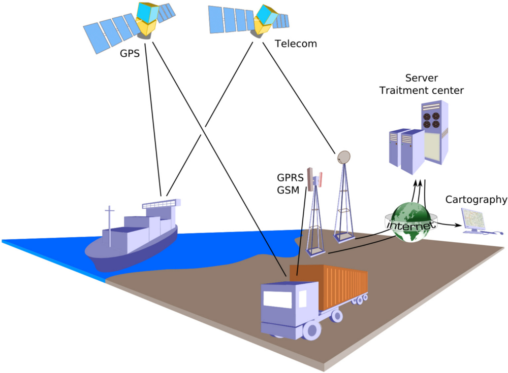
 The terminal, installed on the vehicule to follow, is equiped of a GPS reciever to get its position. Then, it transmits the geographical coordonnates with a GSM/GPRS, radio or satelite telecommunication type, through the Internet netwok which the servers are connected on to trait the information.
The associated cartographic softwares are an easy-to-use and efficient interface to follow your fleet of vehicles. The recovered data can also be transmited to your central information system to enrich your data bases.
 We propose you a selection of two ranges of products and softwares. The first is adapted to the terrestrial needs (road, rail, people), the other one meets the nautical specificities and offer a world-wide coverage.
You can directely buy the desired articles in our online catalogue. You will also find more details on the use and the characteristics of the proposed equipments, the one being in constant enhancement. You can contact us for further information on our offers of maintenance or installation.
We can also propose you some services for personalised solutions.
For instance, our SAP experts are able to accompany your IT team to integrate the geolocation data into your information system.
Our web team is also able to realise your website, managing PHP requests to the ERP with the remote function call technology. With such a solution, your customers will have the benefit to know on real time the ongoing deliveries status.

